- a math skill sheet
- a reading comprehension and/or spelling skill sheet
- a critical thinking activity
- a landmarks of the world card (I got this set of flashcards at the Target dollar spot last year, and the kids have loved them)
- a pre-interview where they tell me what they already know
- the main lesson plan and activity
- the post-interview where they tell me what they learned
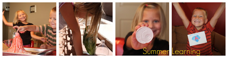
The kids have a list of topics already in line for the summer. For some reason, this is the one that ended up going first.
We had actually done maps at some point a couple of summers ago. The kids filled out a map of the United States, marking major landmarks where they thought they went. Look HERE to read more about that.
So I wanted to go a little further into the subject this time. Here is the Pre-Interview:
Hannah: Maps can show you where things are-- they can show you how to get places. Show you treasure. They can guide you through things. There are lots of kinds of maps, like treasure, world, country, state, city, body, room, and yard.
Seth: They can show people where to go and they help you get around. They help you get to different countries. There are world maps, maps to help you find treasure, and maps of your body.
We started off by having Seth read the book "You are Here" by Jennifer Gillis.

It is a basic guide to maps and how they work. My only complaint was that it was a little simplistic for where my kids were. We looked at a variety of types of maps, from floor plans to house plans, to topographical maps. Thanks to daddy's job, we have a great variety of maps to choose from. We brought some math into the process by going deeper into scale. I printed some simple maps from the internet (just google "map images" and you get all sorts of good stuff). I just made sure the ones I printed had a scale marking on them. We estimated the distance between cities using the scale and small rulers. They loved this. It was great because Hannah is getting pretty good with her multiplication, and could just say, "oh, that one is 6 times 2 miles, so...about 12 miles away!" Seth did the whole counting by 2's thing to get his answers. We also talked about keys and how they help us read maps. If I had it to do over again I would go into latitude and longitude because I think they were ready for it. Oh well. We can always throw that in later. Finally, we made our own maps. They used these brown paper sheets that Rick's mom gave me last year. They are perfect! I just told them to make a map of our city. There were no requirements...just put the things on that were most important to them. I was curious to see what this would uncover.
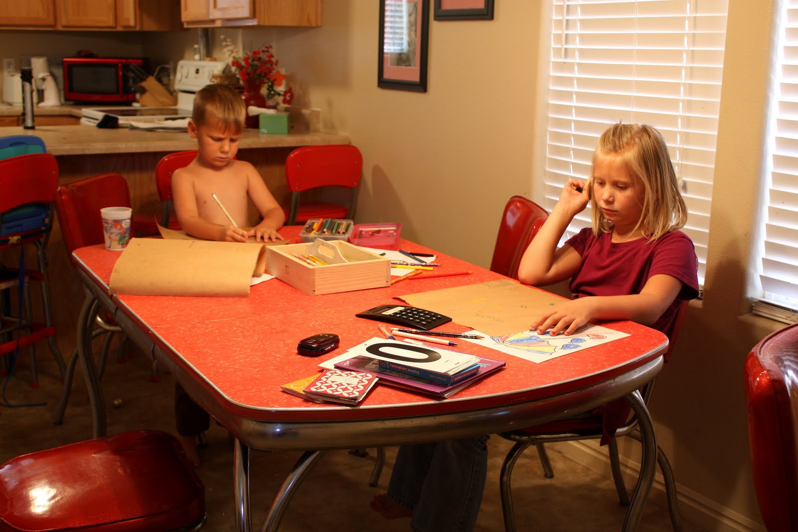
Seth's locations of choice were: McDonald's, IHOP, Wal-Mart, our house, our neighbor's house, church, and the grandparents houses. His map is really hard to read because he did it in pencil. After they were finished, we burned the edges. This was Seth's favorite part of the whole day. Little pyro.

Hannah's map was heavily dependent on the key. Her keyed locations were houses, stores, "dinner places", library, Brushfire (a pottery studio that she adores), Jumpin Jacks, school, church, the splash pad, and her piano teacher's house. The key symbol for school was a bell, the symbol for her piano teacher's was a little piano, the splash pads were raindrops, and the restaurants were little forks and spoons. The way she laid out her locations was actually fairly accurate. Based on her North/South orientation, she placed the grandparents houses in more or less the right direction. I was impressed. Overall I thought the maps were pretty representative of the two kids personalities!

Post Interview:
Seth: There are lots of kinds of maps. They can show you lakes and roads. They can show you your own back yard. The scale helps you know how long away something is.
Hannah: Scale on a map helps show things that are not that size in real life. Floor maps (plans) are maps of houses. What? I already knew everything else!!!
Next week: Plants!